Explore
Featured
Recent
Articles
Topics
Login
Upload
Featured
Recent
Articles
Topics
Login
Upload
Search Results for 'flood mapping'
flood mapping published presentations and documents on DocSlides.
Flood Hazard mapping at the Bago City in the Bago River BasinMr MYO T
by roy
1.Introduction 1.1Flood disaster statistics Floo...
A GIS Flood Tool for Mapping Extent of Inundation
by cheryl-pisano
James Verdin. USGS Earth Resources Observation an...
HEZA A GISbased Method for Improved Approximate Flood Risk Analyses
by jordyn
2 Introduction The National Flood Insurance Progr...
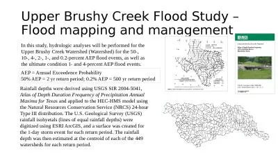
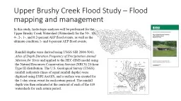
Upper Brushy Creek Flood Study – Flood mapping and management
by phoebe
Rainfall depths were derived using USGS SIR 2004-5...
WV Flood Risk Mapping Status and
by kittie-lecroy
Needs. Lee Brancheau, GISP. FEMA Region III, Risk...
Upper Brushy Creek Flood Study – Flood mapping and manage
by calandra-battersby
Rainfall depths were derived using USGS SIR 2004-...
Questions concerning the Halloween Flood in Onion Creek
by mitsue-stanley
Presentation by David R. Maidment. Center for Res...
Mat Mampara, PE, CFM – Dewberry
by lindy-dunigan
Victor Hom, National Weather Service. Stuart Geig...
Pierce County, WA
by mitsue-stanley
DFIRM Update . Fife City Hall. 5411 23rd Street ...
Mat Mampara, PE, CFM – Dewberry
by olivia-moreira
Victor Hom, National Weather Service. Stuart Geig...
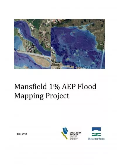
Mansfield
by melody
1% AEP Flood Mapping Project June 2014 Mansfield...
Pierce County, WA
by briana-ranney
DFIRM Update . Fife City Hall. 5411 23rd Street ...
This is an audio-enhanced PowerPoint presentation. To hear
by test
More Changes Coming to the National Flood Insuran...
Bridge Research Underway at MoDOT
by aaron
Bill Stone, Research Administrator. Flood Inundat...
by friendma
Christoph F. . Eick. ...
by joedanone
Christoph F. . Eick. ...
Policy Lab
by bety
1TitlePeri-cene Sub-titleA working knowledge platf...
MAPPING FLOOD RECESSIONAL GRASSLGEESE: A MULTI-TEMPORAL REMOTE SENSING
by debby-jeon
Local area mapping At the end of November 2005 gra...
HEC & GIS Modeling of the Brushy Creek Watershed
by pasty-toler
Presented by Cassandra Fagan 25, November 2014. h...
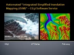
Automated “integrated Simplified Inundation Mapping (
by marina-yarberry
iSIM. )” – CG3i Software Service. CG3I ...
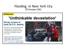
Flooding in New York City
by alida-meadow
30 October 2012. Current Conditions. Projected 5-...
Load More...