
PPT-Upper Brushy Creek Flood Study – Flood mapping and management
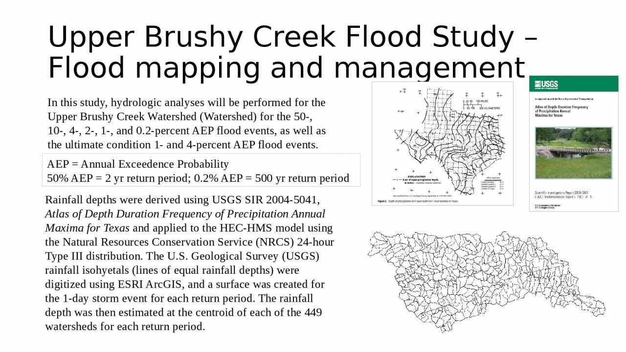
Rainfall depths were derived using USGS SIR 20045041 Atlas of Depth Duration Frequency of Precipitation Annual Maxima for Texas and applied to the HECHMS model using
Download Presentation
"Upper Brushy Creek Flood Study – Flood mapping and managem " is the property of its rightful owner. Permission is granted to download and print materials on this website for personal, non-commercial use only, provided you retain all copyright notices. By downloading content from our website, you accept the terms of this agreement.
Presentation Transcript
Transcript not available.