Explore
Featured
Recent
Articles
Topics
Login
Upload
Featured
Recent
Articles
Topics
Login
Upload
Search Results for 'datum'
datum published presentations and documents on DocSlides.
Introduction to Geomatics Engineering
by anya
SE 312. Hydrographic Survey. Prof. Ismat Elhassan....
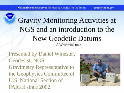
Gravity Monitoring Activities at NGS and an introduction to the New Geodetic Datums
by ximena
-- A Whirlwind tour. Presented by Daniel Winester,...
Introduction to Geographic Information Systems
by tawny-fly
Spring 2013 . (INF 385T-28437). . Dr. David Ar...
Geodesy, Map Projections and Coordinate Systems
by natalia-silvester
Geodesy. - the shape of the earth and definition...
MARLS Conference 2012
by tatiana-dople
The National Flood Insurance Program . FEMA Eleva...
Template: Width: 14”; height: 5 ½”. Each panel is 3
by ellena-manuel
Gutters: ¼” (red lines). Fold lines in dashes....
Revolution in Earth Measurement
by luanne-stotts
Traditional Surveying uses . benchmarks . as refe...
Using XML Mapper and Enterprise Guide to Read Data and Meta
by myesha-ticknor
Larry Hoyle, Inst. For Policy & Social Resear...
CHAPTER ONE – Part 2
by myesha-ticknor
Geometrical Tolerances. 1. CHAPTER ONE. : . . ...
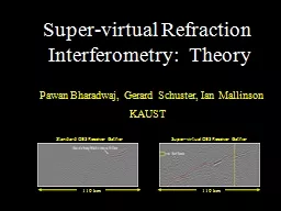
Super-virtual Refraction
by aaron
Interferometry: Theory. Pawan Bharadwaj, Gerard ...
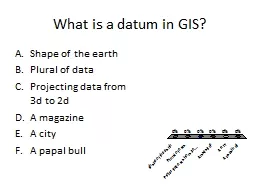
What is a datum in GIS? Shape of the earth
by tawny-fly
Plural of data. Projecting data from 3d to 2d. A ...
Vectors lesson
by liane-varnes
SaRvectors.lgfl.net. Introduction from the Coastg...
Geodesy, Map Projections and Coordinate Systems
by pasty-toler
Geodesy. - the shape of the earth and definition...
Introduction to Global Positioning Systems
by pamella-moone
(GPS). Module 1. Created by: Scott Kelly 2010. Sa...
Doing Archaeology Ch 9 A
by tawny-fly
research design . is a systematic plan that ensur...
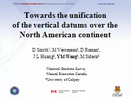
Towards the unification
by conchita-marotz
of the vertical datums over the North American co...
Maintaining Gage Datum: Levels at Gaging Stations
by danika-pritchard
A visit to Pacific Creek at Moran, WY. . The ....
Using Aerogravity to Produce a Refined Vertical Datum
by faustina-dinatale
D.R. Roman and X. Li. XXV FIG Congress. 16-21 Jun...
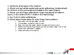
1. Calibrate all sensors in the machine.
by phoebe-click
2. Check . and set collate pocket side guide cali...
Today’s Objectives : Students will be able to:
by pamella-moone
Relate . positions. , velocities, and acceleratio...
Load More...