PDF-ATELLITE ASER ANGING Satellite Laser Ranging is a proven geodetic technique with significant potential for important contributions to scientific studies of the EarthAtmosphereOceans system
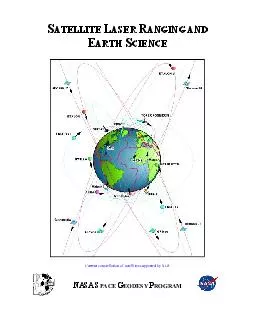
SLR is the most accurate technique currently available to determine the geocentric position of an Earth satellite allowing for the precise calibration of radar altimeters
Download Presentation
"ATELLITE ASER ANGING Satellite Laser Ranging is a proven geo " is the property of its rightful owner. Permission is granted to download and print materials on this website for personal, non-commercial use only, provided you retain all copyright notices. By downloading content from our website, you accept the terms of this agreement.
Presentation Transcript
Transcript not available.