PDF-National Oceanic and Atmospheric Administration National Geodetic Survey National Geodetic Survey Positioning America for the Future geodesy
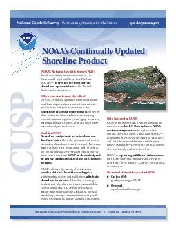
noaagov NOAAs Continually Updated Shoreline Product CUSP Data Sources for CUSP CUSP is built upon NGS National Shoreline data and uses both NOAA and nonNOAA contemporary
Download Presentation
"National Oceanic and Atmospheric Administration National Geo " is the property of its rightful owner. Permission is granted to download and print materials on this website for personal, non-commercial use only, provided you retain all copyright notices. By downloading content from our website, you accept the terms of this agreement.
Presentation Transcript
Transcript not available.