
PPT-Images from UAVs Geotagged Images
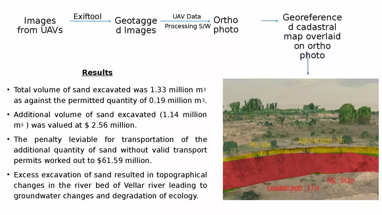
Ortho photo Georeferenced cadastral map overlaid on ortho photo Exiftool UAV Data Processing SW Total volume of sand excavated was 133 million m 3 as against the
Download Presentation
"Images from UAVs Geotagged Images" is the property of its rightful owner. Permission is granted to download and print materials on this website for personal, non-commercial use only, provided you retain all copyright notices. By downloading content from our website, you accept the terms of this agreement.
Presentation Transcript
Transcript not available.