Explore
Featured
Recent
Articles
Topics
Login
Upload
Featured
Recent
Articles
Topics
Login
Upload
Search Results for 'land data'
land data published presentations and documents on DocSlides.
Determining the Relationship Between Development Pattern and the Costs of Public
by danika-pritchard
Determining the Relationship Between Development ...
USGS Headquarters Update
by danika-pritchard
Tim Newman. Program Coordinator. Land Remote Sens...
Rapid Assessment and Trajectory Modeling of Soil Carbon Across a Southeastern Landscape
by faustina-dinatale
Soil & Water Science Department, University o...
Washington DC, March 18 th
by natalia-silvester
, 2016. Land management systems as the backbone o...
DLA Land and Maritime V DIRECTORATE
by tawny-fly
ENGINEERING & TECHNICAL SUPPORT. VA- Document...
Working with Raster Grids and Map Algebra
by mitsue-stanley
Katherine Paybins, USGS. Basic Ingredien. ts. Gri...
The South/Southeast Asia Research Initiative (SARI)
by celsa-spraggs
Update. Krishna Prasad . Vadrevu. NASA MSFC. Back...
Copernicus Introduction Bucharest, Romania – 7
by test
th . & 8. th. November 2013. Contents. Intro...
The European Copernicus
by conchita-marotz
Programm. and the Sentinels. Wolf . Forstreuter....
Florida Key Deer Land Acquisition
by cheryl-pisano
Edward Jackson. 11/18/2014. RENR – 405 – 599....
ANC 2018
by olivia-moreira
. Evidence Base – Progress Report . Independe...
Juris Griņevičs
by calandra-battersby
Rural Support Service. Deputy director of the Con...
RTI Project Overview
by test
Frank Betz. Chief Operating Officer. Rahall Trans...
Geographical Information Science/Remote Sensing/
by luanne-stotts
Modelling. Research interests . Chris Brunsdon,...
The Information System of Encumbered Territories – Benefi
by pasty-toler
Maija Bērziņa, Deputy Director General in Cadas...
“Resilience” as Seen by One Old Guy
by stefany-barnette
Ramapo College. November 1, 2013. David Peifer. A...
Improving estimates of roughness length (Z
by danika-pritchard
0. ) in a road weather prediction model using air...
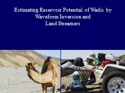
Estimating Reservoir Potential of
by yoshiko-marsland
Wadis. by Waveform Inversion and . Land Streamer...
NWS / SPoRT Coordination Call
by myesha-ticknor
August 19, 2010. Topics. : LIS, SST Composite, Te...
Agricultural Census Concepts and Definitions
by alida-meadow
Section B. 1. Total Area of Holding. Is a derived...
DATA STANDARDS - Tips Generic Data Standards
by tatyana-admore
Designators. Compound Data Standards. Class Words...
Girl Scouts and GLOBE Observer
by caitlin
&. NASA GLOBE and Girl Scouts. GLOBE Observer ...
Sharing Seminar: PowerBI
by roxanne
GSS Best Practice and Impact (BPI). Sli.do #Y864. ...
Parameters of İnfiltration Models as Affected by the Measurement Technique and Land Use
by eve
Gülay. . KARAHAN. . Kim SEONGYUN. ...
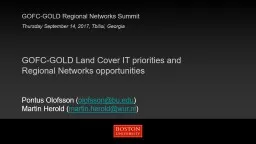
GOFC-GOLD Land Cover IT priorities and Regional Networks opportunities
by WonderWoman
GOFC-GOLD Regional Networks Summit. Thursday Septe...
PARTNERS A Stakeholders Advisory Group SAG composed of project area re
by barbara
he Goose River Watershed the project area ultimate...
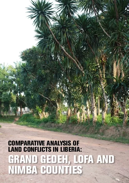
LIBERIA REPORTMany internally displaced persons and refugees returned
by unita
GRAND GEDEH OFA AND IMBA COUNTIESCOMPARATIVE NALYS...
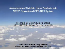
1 Assimilation of Satellite Snow Products
by collectmcdonalds
into . NCEP . Operational CFS/GFS System. Michael ...
Talking Freight: Freight and Livability
by relievinglexus
June 15, 1022. Michael Kray, Atlanta Regional Comm...
LCFS Indirect Land Use Change Expert Workgroup
by liane-varnes
LCFS Indirect Land Use Change Expert Workgroup Ca...
LCFS Indirect Land Use Change Expert Workgroup
by lindy-dunigan
Carbon Emission Factors Subworkgroup. Presentatio...
Doctoral Research Proposal
by faustina-dinatale
. Topic: Elusive . Justice: The Maasai Challen...
Common Land Unit Acreage Reporting Plan
by lindy-dunigan
2012 Crop Insurance Workshops. Drought, Politics ...
Distinguishing vegetation communities
by stefany-barnette
Land . Cover Mapping and Habitat Analysis. Unders...
LCCVP
by pamella-moone
Update. . & New Science Activities. David M....
Coupling Eddy Covariance Measurements with Remote Sensing t
by phoebe-click
Estimates . of net carbon exchange at broad spati...
Designing Practice Based Approaches for Managing Agricultur
by sherrill-nordquist
Catherine Kling. Center for Agricultural and Rura...
UK Corine
by mitsue-stanley
. Land Cover Map . 2012. Heiko. . Balzter. www....
Drought Monitoring with the
by ellena-manuel
NCEP. North . American Land Data Assimilation (NL...
Dasymetric Mapping
by test
Improving estimates of vulnerable coastal populat...
Load More...