Explore
Featured
Recent
Articles
Topics
Login
Upload
Featured
Recent
Articles
Topics
Login
Upload
Search Results for 'imagery data'
imagery data published presentations and documents on DocSlides.
Proper Use of NextView Licensed DigitalGlobe Imagery for AB
by liane-varnes
Version: October 2016. 1. US . National Geospatia...
Developing and Evaluating RGB Composite MODIS Imagery for Applications in National Weather Service
by danika-pritchard
Hayden Oswald. 1. and Andrew Molthan. 2. Univers...
Drones/Aerial Imagery for Disaster Response
by pamella-moone
Participants: . OpenAerialMap, Open Geospatial, P...
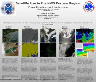
Satellite Use in the NWS Eastern Region
by deena
Frank . Alsheimer. and Jon . Jelsema. NOAA/Nation...
WWWNESDISNOAAGOVWWW GOES31RGOVTWITTER NOAASATELLITESFACEBOOK GOES31R
by joy
This fact sheet explains the cloud and moisture ap...
Partnership Opportunities and the Evolving Michigan
by elena
Statewide Authoritative Imagery and LiDAR Program ...
McIDAS-X Software Development and Demonstration
by greemeet
Dave Santek and Jay Heinzelman. 16 November 2016. ...
Mark IVB Current and Next Upgrades
by aaron
and. Using Multispectral Imagery to Highlight Low...
Temporal Classification and Change Detection
by danika-pritchard
May 6. August 29. September 14. IKONOS Imagery. R...
Detecting Land Cover Land Use Change in Las Vegas
by aaron
Sarah Belcher & Grant Cooper. December 8, 201...
LECTURING ON SATELLITE IMAGERY PROCESSING AND GIS BASED ON
by lois-ondreau
Fatwa . Ramdani. *. . *. Geo-environment, Instit...
COMET’s Environmental Satellite Education Resources for A
by marina-yarberry
Wendy Schreiber-. Abshire. , . Patrick Dills, &am...
Geographic Data Primitives
by myesha-ticknor
Large number:. Points, multiipoints, lines, polyl...
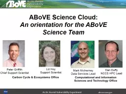
The Arctic Boreal Vulnerability Experiment and Big Data Analytics for Ecosystem Science
by alexa-scheidler
and. Data Management. Stephen D. Ambrose. 1. , E...
transitioning unique NASA data and research technologies to operations
by chaptoe
GOES-R Proving Ground Activities . at the NASA Sho...
Automated Tree-Crown Delineation Using
by mitsue-stanley
Photogrammetric Analyses. Austin . Pinkerton * an...
Change Detection Methods in the Boundary Waters Canoe
by trish-goza
Area. Thomas Juntunen. Objectives. To examine som...
Update on NASA’s
by trish-goza
Earth . Observing . Data and Information System (...
Mrs. Keith-
by phoebe-click
Houle. 11:00 E. 10:00 C. Red. RB. Bank. High. Sch...
IU QuakeSim
by mitsue-stanley
/E-DECIDER Effort. QuakeSim. Accomplishments . (...
Regional GIS Users Group Meeting
by olivia-moreira
Wednesday, February 18. th. 2009. 10:00 AM - Noo...
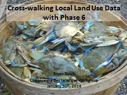
Cross-walking Local Land Use Data with Phase 6
by marina-yarberry
Bryan Bloch. Chesapeake Bay Land Use Workgroup. J...
G eospatial
by danika-pritchard
I. nformation . I. nteroperability . E. xploitati...
Underexplored Research Topics
by olivia-moreira
An Industry Perspective. Erik Hoel. esri. e. sri....
LANCE AMSR2
by phoebe-click
NRT. Sherry Harrison. sharrison@itsc.uah.edu. Lan...
Mapping Canada’s Rangeland and Forage Resources using Ear
by lois-ondreau
Emily Lindsay . MSc Candidate – Carleton Univer...
web apps
by kittie-lecroy
- DGPS . surveys . - met stations - wetland...
How AWIPS II will bring GOES-R Capabilities and Science to
by alida-meadow
both Pre- and Post-Launch. Jordan . Gerth. , Rese...
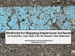
Methods for
by conchita-marotz
Mapping . Impervious Surfaces. An Exploratory Cas...
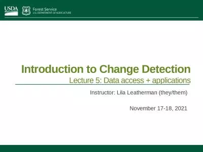
Introduction to Change Detection
by ani
Lecture 5: Data access + applications. Instructor:...
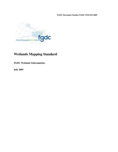
FGDC Document Number
by white
FGDC-STD-015-2009Wetlands Mapping StandardFGDC Wet...
Torres Strait Island Regional Council Page 673
by deborah
Schedule 2 MappingSC212 Poruma Coconut Island maps...
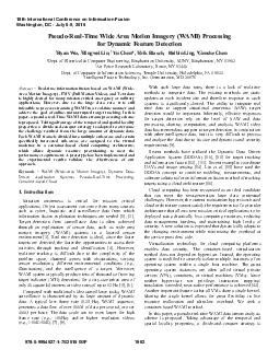
PseudoRealTime Wide Area Motion Imagery WAMI Processing for Dynamic
by gagnon
adopted to overcome the challenge resulted from th...
USE OF WIDEAREA MOTION IMAGERY (WAMI) FOR TRANSPORTATION PLANNING AND
by naomi
Transportation Research Building 唀ni癥爀猀it...
Creating Multispectral Imagery in LINUX Using MCIDAS-V
by olivia-moreira
Subtitle. Introduction. The legacy GOES-Imager ra...
Frank Yu Australian Bureau of Statistics
by giovanna-bartolotta
Frank Yu Australian Bureau of Statistics Unstruct...
Creating Multispectral Imagery in LINUX Using MCIDAS-V
by danika-pritchard
Subtitle. Open MCIDAS-V. In LINUX, go to upper le...
2028 2018 2023 2033 2038
by danika-pritchard
Role of Digitization & Analytics in Improving...
Jed Sundwall, Global Open Data Lead
by natalia-silvester
Messaging Services and Distributed Systems in the...
Use of MODIS False Color to Monitor
by lois-ondreau
Snowfall, Snow melt and Thermal Belts. Gina Loss ...
Load More...