Explore
Featured
Recent
Articles
Topics
Login
Upload
Featured
Recent
Articles
Topics
Login
Upload
Search Results for 'Floodplain-Flood'
Floodplain-Flood published presentations and documents on DocSlides.
Floodplain Management using ArcGIS and HEC-RAS
by test
CEE6440 GIS in Water Resources. December 1, 2009....
A Sample Power Point to Introduce the Floodplain Simulator
by lindy-dunigan
October, 2013 MEA-MFT Conference. Belgrade, Mont...
Flood Plain 101 What Every Bidder Should Know Before Bidding on a Property in the Flood
by pasty-toler
Plain. Shawn Sturhan. Assistant Manager . Harris ...
What a floodplain
by welnews
LOMAs, LOMR - Fs, and LOMR - FWs: Administrator Ne...
Floodplain Boundary Standard
by kittie-lecroy
A Coastal Perspective. May 23, 2012. Mark Zito, G...
Building Codes and Floodplain Management
by alexa-scheidler
Laura Ghorbi, PE, CFM. RAMPP. FEMA Region III ...
City of Houston National Flood Insurance Program
by kittie-lecroy
Program for Public Information. Transportation, T...
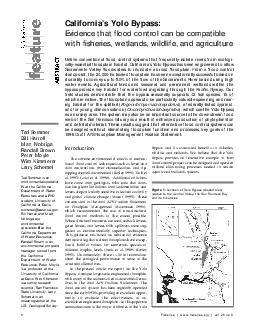
The adverse environmental effects of conventional flood control techni
by alis
6Fisheries wwwfisheriesorg vol 26 no 8Ted So...
Coastal Erosion Hazard Area Training
by gagnon
~ New York City ~ The New York State Department of...
Uncertainty in the modelling of large scale flood events in the
by accouther
Barotse. floodplain, Zambia. . Tom Willis. 1. , ...
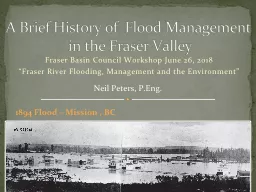
Fraser Basin Council Workshop June 26, 2018
by nonhurmer
“Fraser River Flooding, Management and the Envir...
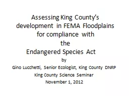
Assessing King County’s development in FEMA Floodplains for compliance with
by faustina-dinatale
the . Endangered Species Act . by. Gino Lucchetti...
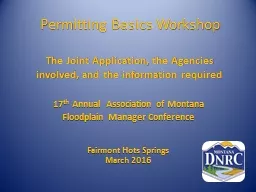
Permitting Basics Workshop
by marina-yarberry
The Joint Application, the Agencies involved, and...
What is a delta and floodplain?
by kittie-lecroy
By:Mickey,kyle,Seiga and Emma!. Floodplain!. A fl...
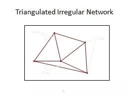
1 Triangulated Irregular Network
by ellena-manuel
Node. Edge. Face. 2. 3D Structure of a TIN. Real ...
Improved Assessment of Floodplain Location and Function
by briana-ranney
Megan Lang. USDA Forest Service. Beltsville, MD. ...
State Floodplain Manager 1 on 1
by emily
Module 5: . State FPM Program Authority & Stru...
Contrasting Detailed and Approximate Floodplain Studies
by moistbiker
Matagorda County, TX. CE 394K Fall 2017. Sydney Ka...
National Flood Insurance Program Biological Opinion:
by fluental
A Local Perspective . by. Gino Lucchetti and Brian...
Water Management in the U.S. Oil and Gas Industry
by tawny-fly
by Peter D. McKone, CWB (Weaver Consultants Group...
Certified Floodplain Manager Program
by liane-varnes
(CFM. ®. ). CFM. ®. Program History. National ...
National Weather
by phoebe-click
Service. Jackson Mississippi. NWS FLASH/RIV...
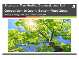
Sycamore Tree Health, Dispersal, and Soil Composition in Quarry Bottom Flood Zones
by leah
Zachary R. Young, Sarah Minor, Hunter . Schouweile...
National Flood Insurance Program (NFIP)
by lauren
Silver Jackets Flood Awareness Workshops 2023. ...
Overcoming Impediments to Flood Resilience:
by firingbarrels
Paths Forward. Natural Hazard Mitigation Associati...
Flood Response Operations
by alexa-scheidler
Administrative Information. Registration. Emergen...
Reported Flood Inundation due to Hurricane Harvey in Houston, TX
by alexa-scheidler
Isha Deo. November 21, 2017. Specific Issues duri...
Flood Management Certification
by aaron
Maya Loewenberg,. Permit Ombudsman. DECD . Offi...
Flood Damage Prevention
by myesha-ticknor
Code Update. Base Flood:. 1% annual chance of fl...
Using topography to estimate flood risk
by trish-goza
Brendan Murphy. CE 397 Flood Forecasting. May 4, ...
National Flood Insurance Program ESA
by alida-meadow
Consultation for . Online Information Sessions. M...
Flood Bypasses
by stefany-barnette
As . A. . Floodplain Management Technology . . ...
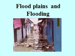
Flood plains and Flooding
by marina-yarberry
Aims. To know and understand how flood plains are...
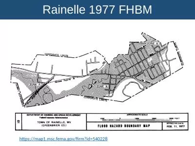
Rainelle 1977 FHBM https://map1.msc.fema.gov/firm?id=540228
by ethlyn
Rainelle 1987 FIRM . https://map1.msc.fema.gov/fir...
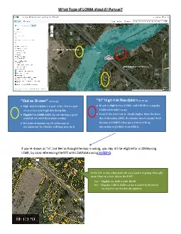
What Type of LOMA should I Pursue
by bety
147Out as Shown148on mapHigh risk floodplain on pa...
Watershed and its divide
by lois-ondreau
What’s the situation at points A and B in terms...
Reinaldo Garcia, PhD A proposal for testing two-dimensional models to use in the
by trish-goza
National . Flood Insurance Program. Presentation ...
flooding and housing buyouts in onion creek
by olivia-moreira
Rachel Piner. GIS in Water Resources. Dr. . Maidm...
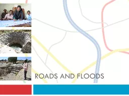
Training on
by yoshiko-marsland
Roads for Water and Resilience. Roads and floods....
Sycamore Tree Health, Dispersal, and Soil Composition in Qu
by briana-ranney
Zachary R. Young, Sarah Minor, Hunter . Schouweil...
Load More...