Explore
Featured
Recent
Articles
Topics
Login
Upload
Featured
Recent
Articles
Topics
Login
Upload
Search Results for ''
published presentations and documents on DocSlides.
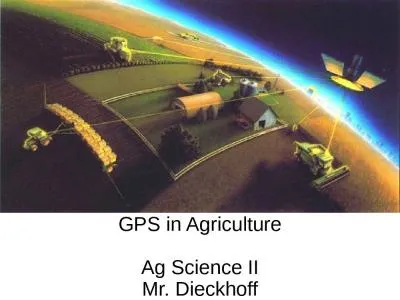
GPS in Agriculture Ag Science II
by esther
Mr. Dieckhoff. Why Use GPS in Agriculture. Farm Ma...
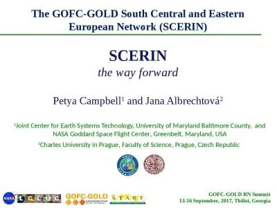
1 Joint Center for Earth Systems Technology, University of Maryland Baltimore County, and NASA Go
by joanne
Center. , Greenbelt, Maryland, . USA. 2. Charles ....
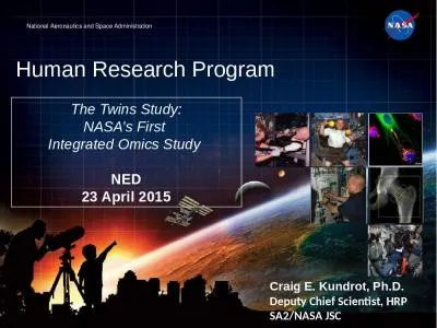
Human Research Program Craig E. Kundrot, Ph.D.
by reagan
Deputy Chief Scientist, HRP. SA2/NASA JSC. The Twi...
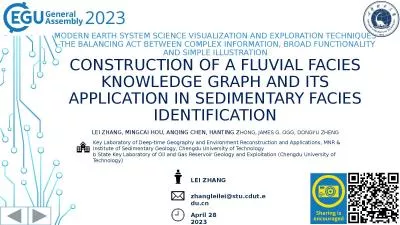
Modern Earth system science visualization and exploration techniques
by martin
--the balancing act between complex information, b...
A multi-spacecraft analysis of energy transfer associated with near-Earth magnetic reconnection
by joanne
S. . Fadanelli. , B. . Lavraud. , F. . Califano. W...
Planet Earth Modeling Prof.
by eddey
E.Omodeo. e Prof. . C.Braitenberg. Images . analy...
Weather Forecasting 7 predicting the weather over the coming days
by reagan
Last week, we moved away from background science t...
Geospatial Analysis and Modeling - NCSU MEAS – Helena Mitasova
by ivy
Geomorphometry I: . Terrain modeling. Geospatial A...
By- jay patel (130110105027)
by dandy
aakash. . patel. (130110105001). urvish. . soni...
Project EDDIE: Climate Change
by linda
O’Reilly, C.M., D.C. Richardson, and R.D. . Goug...
Geographic Information Systems - GIS
by ashley
Jessica Griffin. Intro to GIS. Geography is the sc...
An Overview of Satellite Imagery
by beatrice
ARSET - AQ. A. pplied. . R. emote. . SE. nsing. ...
APPENDIX A
by rose
Disciplinary Core Idea Progressions35Disciplinary ...
IOP Conference Series Earth and Environmental Science
by paisley
PAPER Development of flood forecasting model and w...
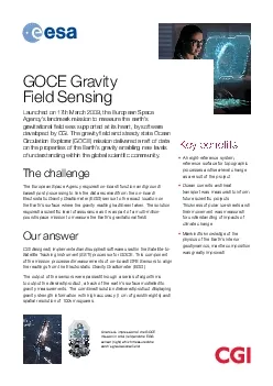
GOCE Gravity Field31SensingLaunched on 17th March 2009 the European Sp
by roxanne
Key bene30tsA height-reference system reference su...
VOXI Earth Modelling A quick introduction to Geosoft’s inversion solutions
by dayspiracy
for Company X. Explorers. choose Geosoft. “I . f...
Mars: On the Path or In The Way?
by slygrat
Brent Sherwood. brent.sherwood@jpl.nasa.gov. . GL...
Near Earth Network (NEN)
by debby-jeon
CubeSat . Communications. Scott Schaire. January ...
Aggregate Analysis In A
by lindy-dunigan
Aggregate Analysis In A CubeSat Centrifuge: A S...
Space Weather Underground: A Collaboration Between UNH and Local High Schools
by myesha-ticknor
John Blackwell. 1. , Louis Broad. 2. , Cathy Dude...
Space Weather Underground: A Collaboration Between UNH and Local High Schools
by celsa-spraggs
John Blackwell. 1. , Louis Broad. 2. , Cathy Dude...
Estimating Water Levels with Google Earth Engine
by myesha-ticknor
Eileen Lucero. Capstone Proposal. July 26, 2016. ...
Computer maps and weather (climate) data
by karlyn-bohler
Climate is the average annual pattern of precipit...
Computer maps and weather (climate) data
by luanne-stotts
Climate is the average annual pattern of precipit...
Analysis of Nonlinearity Correction for
by kittie-lecroy
CrIS. SDR . April . 25. , . 2012. Chunming Wang ...
Tides, King Tides, and Tidal
by pasty-toler
Datums. plus some NOS Resources. Marti . Ikehara...
The NASA-ISRO SAR (NISAR) Mission
by debby-jeon
Paul A Rosen, NISAR Team. Jet Propulsion Laborato...
Metadata and Associated Tools for the 5th Coupled Model
by min-jolicoeur
Intercomparison. Project. Sarah Callaghan: Briti...
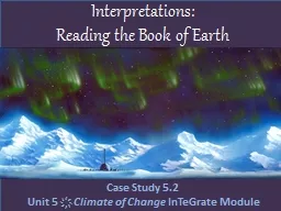
Interpretations: Reading the Book of Earth
by calandra-battersby
Case Study 5.2. Unit 5 . ҉. . Climate of Change...
Federated Earth Observation (
by debby-jeon
FedEO. ). CEOS WGISS Meeting #. 45. A. Della Vecc...
Understanding Earthquakes with GIS
by trish-goza
William Mackaness, Carol Blackwood, Charlotte Gra...
Mapping of African Tulip
by conchita-marotz
with WorldView-2. Image Data. Litia. . Gaunavou....
Earth models for early exploration stages
by olivia-moreira
PETROLEUM ENGINEERING. ÂNGELA PEREIRA (angela.pe...
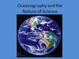
Oceanography and the Nature of Science
by mitsue-stanley
A. What is Science?. Science literally means “...
How DO they actually locate earthquakes?
by tatiana-dople
Alternatives to S-P Triangulation. Hubenthal, M. ...
latitude
by tatiana-dople
prevailing wind. Wind data. Read the introduction...
Datums and Tides
by celsa-spraggs
Mean Low Tide versus Mean Lower Low Water. And th...
Underground (Well) Mapping Re-visited
by briana-ranney
by. : Earl F. Burkholder, PS, PE, F.ASCE. Global ...
Application of Satellite Remote Sensing:
by phoebe-click
Regulatory Issues & Judicial Developments. SH...
Assessment of the payload for
by tatiana-dople
space . weather . monitoring missions situated at...
Load More...