Explore
Featured
Recent
Articles
Topics
Login
Upload
Featured
Recent
Articles
Topics
Login
Upload
Search Results for 'Satellite-Broadband'
Satellite-Broadband published presentations and documents on DocSlides.
Satellite Broadband: The Key To Rural Broadband Service
by phoebe-click
Mike Cook. Senior Vice President. Hughes Network ...
Satellite Broadband: The Key To Rural Broadband Service
by alida-meadow
Mike Cook. Senior Vice President. Hughes Network ...
Gilat Satellite Networks
by stefany-barnette
Corporate Presentation. Gilat Satellite Networks ...
2013 Broadband Summit Broadband Adoption and Usage - What Have We Learned?
by bobradio
Sponsored by the Federal - State Joint Conference ...
The President's Broadband Initiative: Impacts Upon NOAA Satellites and Users
by cheryl-pisano
Presented to:. 2011 NOAA Satellite Direct Readout...
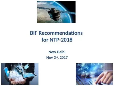
BIF Recommendations for NTP-2018
by olivia
1. New Delhi. Nov 3. rd. , 2017. Satcom. - Quick ...
Satellite Broadband Services
by horizonteleport
http://www.horizon-teleports.com | Horizon Telepor...
Broadband Satellite
by dsdocs
http://www.horizonsat.com | HorizonSat goal is to ...
Presented to:
by alexa-scheidler
Alaska Broadband Task Force. Open Skies Program -...
Manage Broadband Solution
by horizonsatuae
http://www.horizonsat.com | HorizonSat’s custom...
How to engage in broadband policy and regulatory processes
by kaysen
processes. . Research . on significance of . b...
Rural Broadband ID Grant
by samir
Sample Walkthrough. Joseph Sanford, MD. What is th...
`Quality of service and access to broadband services in India`
by darwin
Hemant. . Upadhyay. Advisor – Telecom & IT....
Town of Egg Harbor Broadband Task Force Update
by anderson
Mission: . Determine the feasibility of forming a ...
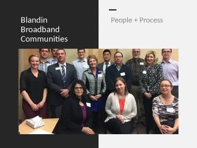
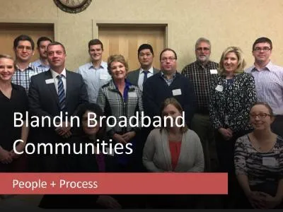
Blandin Broadband Communities
by amelia
People + Process. BBC Success Pyramid. Program Goa...
Agenda Welcome Why we became a Blandin Broadband Community
by isabella
Lisa . Graphenteen. , Big Stone Area Growth. The I...
Broadband Commission Tackling Big Problems
by naomi
Getting Access to Information, Communications and ...
When considering entrylevel broadband servicethe leastexpensive plan
by faith
4 For more information see Community Networks A P...
The York County Commissioners created the YoCo Fiber Broadband Task Fo
by fanny
12021to advise the county on developing and implem...
ATLANTIC BROADBAND
by singh
PARTNERSWITH STATE AND LOCAL COUNTIES TOEXPAND BRO...
Rural broadband Home or small office data connection Extending cellula
by iris
Wireless Broadband Products WiBE - Wireless Broadb...
Environmental Sustainability in Broadband Networks
by inventco
Sebastião Sahão Júnior. Director - Corporate De...
Broadband Advisor Update
by escapistlego
Virginia Municipal League. Tuesday, October 2, . 2...
Broadband Needs for Transportation
by garboardcola
Frank Douma and . Adeel. . Lari. State and Local ...
Broadband in Michigan: Status, Developments, & the Future
by mentegor
Eric Frederick, AICP, LEED AP. Executive Director:...
Price Sensitivity of Broadband Non-Adopters
by numeroenergy
Tom Koutsky. February 7, 2013. If home broadband s...
Leveraging Broadband Infrastructure to Enhance Municipal Services, Fiscal Strength, and Community V
by min-jolicoeur
April 19, 2017. David A. Pelser, . PE, BCEE. Loca...
Economic Impacts of Broadband Access and Availability
by alida-meadow
Eric Biltonen, Community, Natural Resource, and E...
Economic Impacts of Broadband Access and Availability
by liane-varnes
Eric Biltonen, Community, Natural Resource, and E...
Rural Broadband Availability and Adoption: Evidence, Policy Challenges, and Options
by tawny-fly
Brian Whitacre, Oklahoma State University. Robert...
Linda Fischer, mcsa The importance of Broadband for Health care Delivery
by debby-jeon
Objectives:. Understanding the importance of broa...
Alabama Broadband Accessibility Fund
by yoshiko-marsland
2018 Grant Application Workshop . http://adeca.al...
Mobile Broadband Technology:
by liane-varnes
The Infrastructure for Wisconsin’s. Future. AT&...
Georgia and Other State Broadband Initiatives
by test
Blake Doss, House Budget and Research Office . Br...
Broadband as a Catalyst for innovation and job opportunities
by tawny-fly
Sonke Ngidi; Network Engineer. 26 March 2015. Rep...
Rural Broadband Frankie Rigdon
by pamella-moone
–. VP Operations. Jason Smith . –. VP Busin...
Looking Beyond 1G to the Ultra-Broadband Future
by celsa-spraggs
October, 2015. 2. The Future = More. Sources: Er...
Spotlight on States Broadband Connectivity
by yoshiko-marsland
for Learning. Introductions. Moderator: . Jeff Ma...
Connecting to Compete: Opportunities in Broadband
by calandra-battersby
Elizabeth Garner. State Demography Office. Colora...
The Rural Broadband Imperative
by jane-oiler
Fiber for the New Economy . Lexington 2015. Steve...
Load More...