Explore
Featured
Recent
Articles
Topics
Login
Upload
Featured
Recent
Articles
Topics
Login
Upload
Search Results for 'Delineation'
Delineation published presentations and documents on DocSlides.
Watershed and Stream Network Delineation
by tatyana-admore
Exercise . 4 Overview . Online Watershed Delineat...
TAZ/TAD delineation program overview
by test
Overview. Traffic Analysis Zone (TAZ) and Traffic...
April 2012 Improving Remediation Planning through Effective Mine Material Delineation
by alida-meadow
Formosa Mine Superfund Site, Douglas County, OR. ...
Delineation of LFA/ANC land in Scotland – progress Decemb
by olivia-moreira
Willie . Towers and David Donnelly . Method of de...
LECTURE LECTURE WATERSHED DELINEATION WATERSHED DELI
by alexa-scheidler
Delineation is part of the process known as wate...
Chapter 3: Selection and Delineation of the
by luanne-stotts
Chapter 3: Selection and Delineation of Study Area...
Watershed Delineation and Characteristics on Alaska’s Nor
by myesha-ticknor
Matt Khosh. University of Texas at Austin. Depart...
Defect Delineation Etching
by mitsue-stanley
7 Defect delineation etching identification of st...
GIS in Water Resources Watershed and Stream Network Delineation
by cadie
CUAHSI Virtual University. David Tarboton. Utah St...
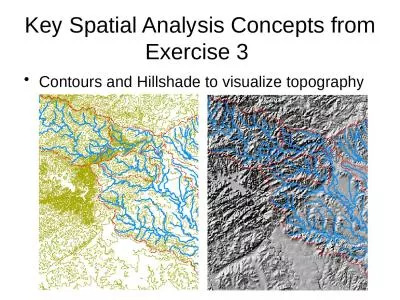
Key Spatial Analysis Concepts from Exercise 3
by susan2
Contours and Hillshade to visualize topography. Zo...
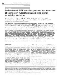
ARTICLEDelineationofmutationspectrumandassociatedphenotypesinhyperphos
by lydia
InstitutfurMedizinischeGenetikundHumangenetik,Char...
WP4. Brainstorm Statistics
by fluental
-RS component-. Dimitry Van der Zande (RBINS). WP4...
Extended Hydrologic Terrain Analysis
by tawny-fly
Establishing the terrain flow analysis framework....
Application of borehole radar to pothole identification and delineation ahead of the working face i
by yoshiko-marsland
. 4. th. International Platinum Conference: P...
Ohio GIS Conference – September 26, 2018
by trish-goza
OSIP – Services Overview. OSIP Background/Overv...
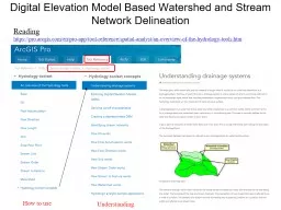
Digital Elevation Model Based Watershed and Stream Network Delineation
by myesha-ticknor
How to use. Reading. . https://. pro.arcgis.com/...
Developing a Protocol to Describe and Delineate
by pasty-toler
Episodic Streams on Arid Landscapes FOR PERMITTIN...
Watershed and Stream Network Delineation on Alaska’s North Slope
by calandra-battersby
Arctic Climate Change. IPCC AR4 Projections (2007...
Delaware Source Water Protection Polygons
by faustina-dinatale
Douglas Rambo, P.G.. Delaware Department of Natur...
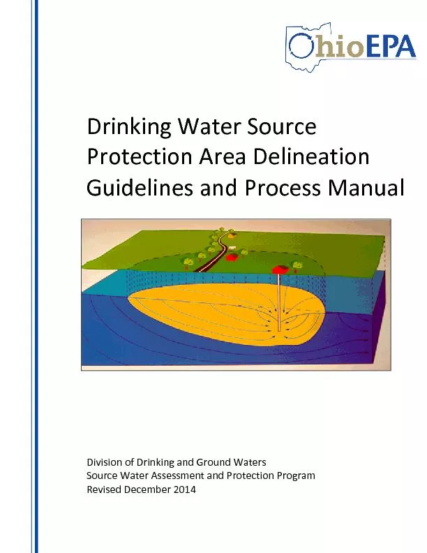
Drinking Water Source
by test
Protection Area Delineation Guidelines and P roc...
The Primary Care CPNP
by tatiana-dople
® . Exam. 2012. Role Delineation Study: . What ...
FederalState Wetland Delineation vs
by danika-pritchard
Jurisdiction Federal wetland boundaries are delin...
Automated tree crown detection and delineation in high
by giovanna-bartolotta
A Pouliot DJ King a FW Bell DG Pitt Department ...
Watershed and Drainage
by phoebe-click
1 Delineation by Pour P oint in ArcMap 10 Writte...
Tools for the delineation of regional MR diffusion abnormal
by calandra-battersby
patients:. Where have we been?. Where should we b...
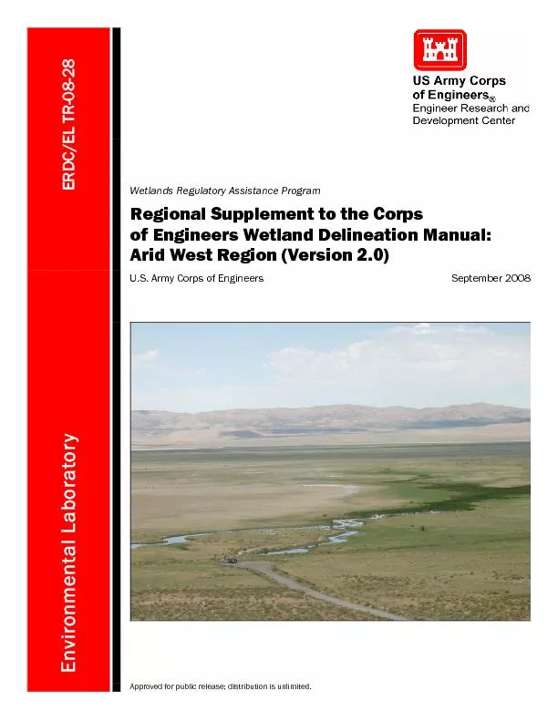
Regional Supplement to the Corps of Engineers Wetland Delineation Man
by phoebe-click
ERDC/EL TR-08-28 September2008 Environmental Lab...
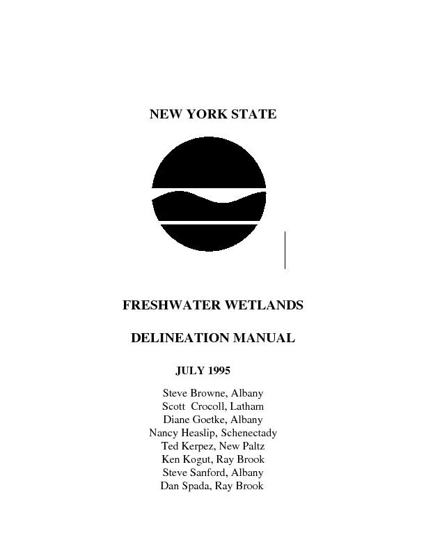
NEW YORK STATE FRESHWATER WETLANDS DELINEATION MANUALJUL
by sherrill-nordquist
TABLE OF CONTENTSPagePREFACE.........................
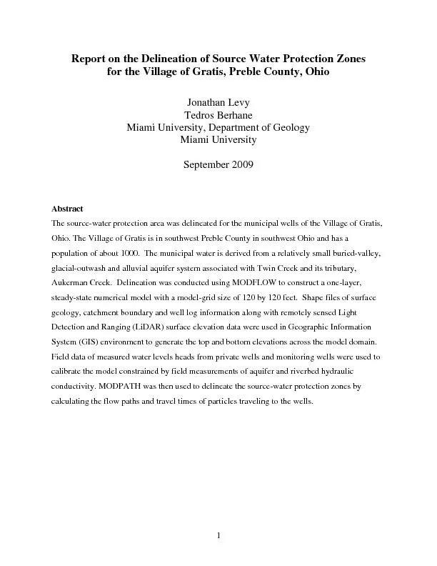
on the Delineation of
by lois-ondreau
1 R eport Source Water Protection Zones for the ...
Region Neighborhood Delineation
by lindy-dunigan
Mingming. Zhang. The Piton Foundation. Community...
Automated Tree-Crown Delineation Using
by mitsue-stanley
Photogrammetric Analyses. Austin . Pinkerton * an...
Load More...