
PDF-Georeferenced to a cartographic
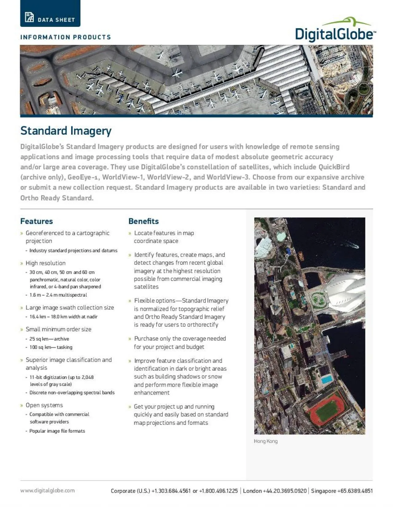
FeaturesprojectionIndustry standard projections and datumsHigh resolution30 cm 40 cm 50 cm and 60 cm panchromatic natural color color infrared or 4band pan sharpened16
Download Presentation
"Georeferenced to a cartographic" is the property of its rightful owner. Permission is granted to download and print materials on this website for personal, non-commercial use only, provided you retain all copyright notices. By downloading content from our website, you accept the terms of this agreement.
Presentation Transcript
Transcript not available.